Chicago Lakefront Trail
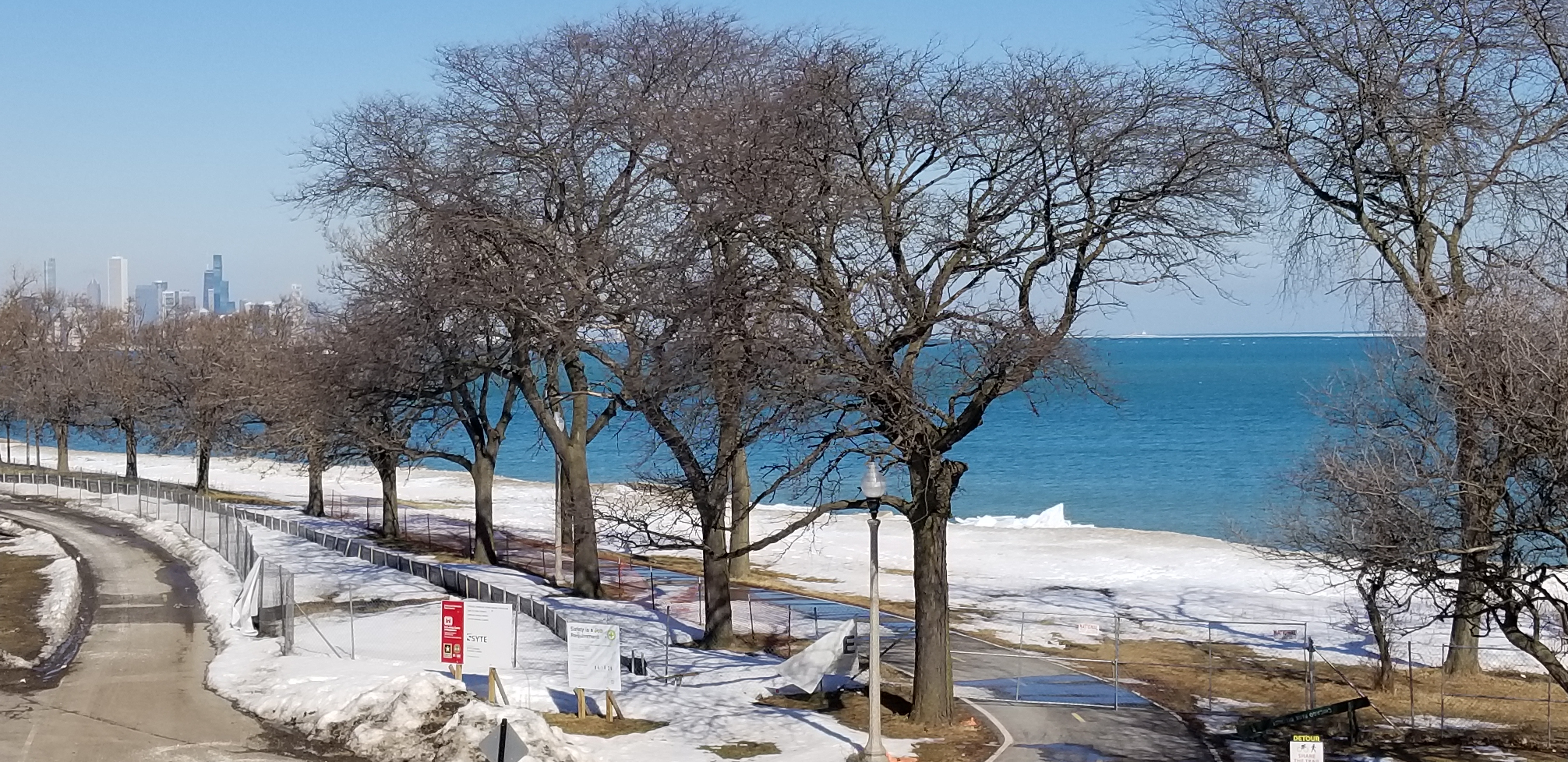
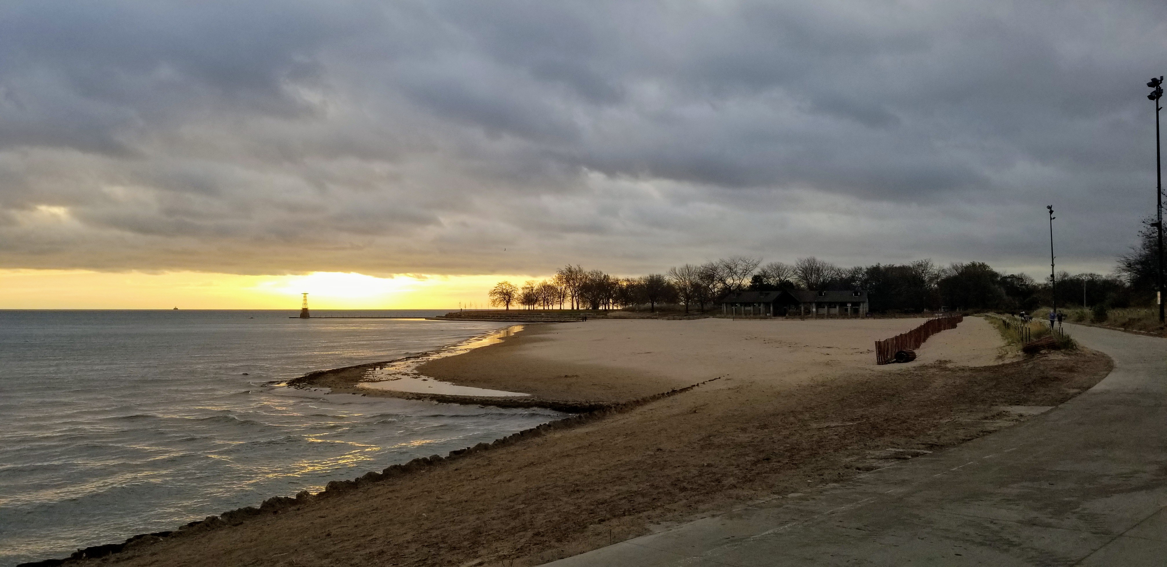
The Chicago Lakefront Trail is an approximately 18 mile paved trail extending from 71st Street in the south (7100 south) of Chicago to Ardmore Avenue in the north (5800 north) of Chicago with stunning views of Lake Michigan and the Chicago skyline. It is adjacent to parks, museums and beaches. The trail connects some famous Chicago lakefront neighborhoods including Edgewater, Lakeview East, Lincoln Park, Gold Coast, The Loop, Kenwood, Hyde Park and South Shore. Large parts of the trail have separate lanes for bicyclists on the one hand and for walkers, joggers and runners on the other hand. Every visitor to Chicago should spend some time on this trail.
Details
Managed By
Distance from Downtown Chicago
Entrances are located a few blocks east of the center of the city as well as throughout the length of the trail which extends 9.5 miles south of the center of town to 8.5 miles north of the center of town.
How To Get There
Accessibility
The trail is accessible, and there are accessible parking spaces and restrooms near the trail.
Things To Do
Beach Activities, Biking, Birdwatching (martins, owls, sandpipers, sparrows, warblers, woodpeckers), Boating, Fishing, Hiking, Inline Skating, Jogging, Running, Swimming, Volleyball and Wildflowers
Fun Facts
The Chicago Lakefront Trail was Chicago’s first designated bike path.
Other Information
There are water fountains and restrooms along the trail and in adjacent parks and beaches. The numerous parking lots near the trail often fill up on good weather days, and the trail can be very crowded on such days.
ONE-WAY BIKING/HIKING OPTIONS WITH MASS TRANSIT: Take Metra Rail from Millennium Station to the South Shore station which is close to the southern terminus of the trail. Return from the CTA Granville Station on the CTA Red Line. This station is close to the northern terminus of the trail; although the CTA Thorndale Station on the CTA Red Line is closer to the trail, it is not an accessible station. This itinerary can also be done in reverse and can be done partially as Metra and CTA have many stops close to the trail. Please consult the Overview section for more information on transporting bicycles on mass transit.
Eats
There are a plethora of places to eat or obtain takeout meals near the trail. On the south side Valois Restaurant at 1518 E. 53rd Street in Chicago is famous for its reasonably priced cafeteria style all day breakfasts. On the north side Bocadillo Market at 2342 N. Clark Street in Chicago serves up delicious Spanish lunch and dinner fare.


Nearby Public Lands Worth Visiting
Jackson Park, including Columbia Basin and Japanese Garden, which are described on this website, Burnham Park, Northerly Island, Millennium Park, Lurie Garden, Lincoln Park Conservatory, Lincoln Park Zoo, Grant Park, Lincoln Park and the lakefront beaches. Activities at these parks and beaches include Beach Activities, Playground, Swimming and Volleyball. During the summer the Grant Park Symphony regularly performs in Millennium Park (Historic/Cultural Interest).
Best Time To Visit
All year
© 2021 50 Great Public Land Destinations - Chicago and Beyond. All Rights Reserved.


