

North Shore Channel Trail
The North Shore Channel Trail extends 7 miles from North Francisco Avenue and Ainslie Street on the north side of Chicago and through the Chicago suburbs of Lincolnwood and Skokie to Green Bay Road and McCormick Boulevard in Evanston, Illinois. The trail is paved with asphalt, runs parallel to the North Shore Channel and through the Skokie Northshore Sculpture Park with many interesting sculptures.


Details
Location
Southern end at North Francisco Avenue and West Ainslie Street on north side of Chicago and northern end at Green Bay Road and McCormick Boulevard in Evanston. A trail map may be found here.
Managed By
Local park districts of municipalities through which the trail travels
Website(s)
No Official Website
Distance from Downtown Chicago
Approximately 9 miles to southern end of trail and 16 miles to the northern end of the trail from the center of town
How To Get There
Accessibility
The trail is accessible. Skokie Northshore Sculpture Park has accessible portable restrooms. There are accessible parking spaces in the Skokie Northshore Sculpture Park.
Things To Do
Biking, Birdwatching, Boating, Hiking, Historic/Cultural Interest (sculptures in Skokie Northshore Sculpture Park), Jogging, Picknicking, Running and Wildflowers
Fun Facts
The North Shore Channel was constructed in 1907-1910 as part of the Chicago area’s sewage and water management system.
Other Information
There are restrooms and picnic areas in the Skokie Northshore Sculpture Park. Street parking and parking in the Skokie Northshore Sculpture Park are available.
ONE-WAY BIKING/HIKING OPTIONS WITH MASS TRANSIT: Take the CTA Purple Line to the Davis stop in Evanston. It is a short distance to Emerson Street which has a bike lane that travels west to McCormick Boulevard where you can join the trail near its north end. The distance to the trail is 1.7 miles. Although the Foster stop is a little closer to the trail, it does not have an accessible turnstile so you would have to carry your bicycle over the turnstile at that stop. The southern end of the trail at Lawrence Avenue is not far from the Rockwell stop on the Chicago Brown Line. This itinerary can also be done in reverse. Please consult the Overview section for more information on transporting bicycles on mass transit.
Eats
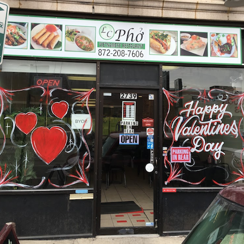
Grab a delicious Vietnamese lunch at LC Pho, 2739 West Lawrence Avenue, Chicago, near the southern end of the trail.
Nearby Public Lands Worth Visiting
Best Time To Visit
All year
© 2021 50 Great Public Land Destinations - Chicago and Beyond. All Rights Reserved.