The 606 Trail
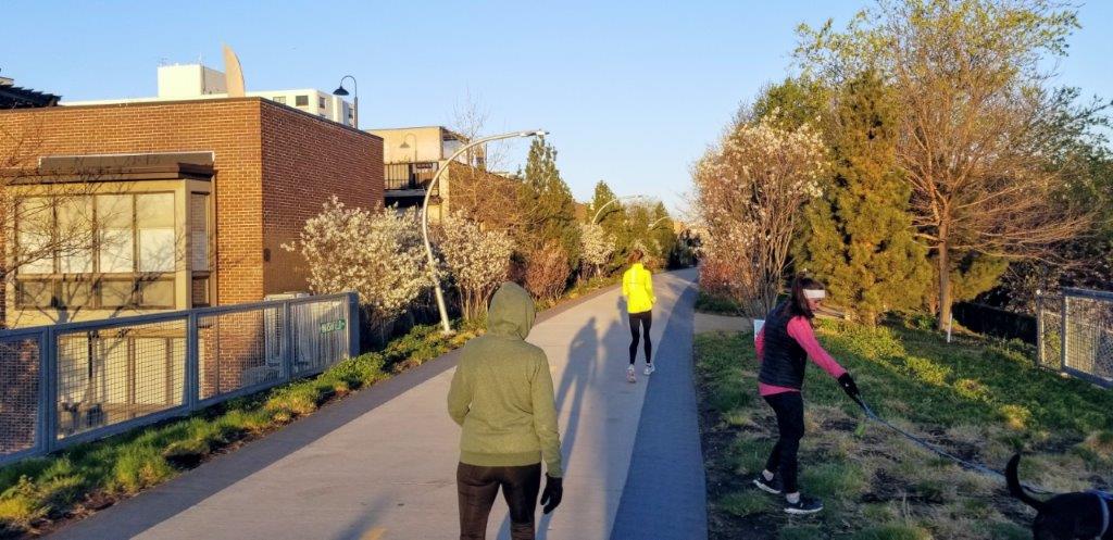
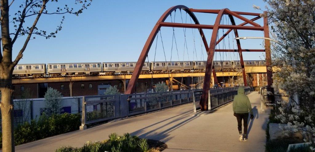
The 606 Trail extends 2.7 miles along a previously abandoned elevated rail line and connects the Bucktown, Wicker Park, Logan Square and Humboldt Park neighborhoods of Chicago. The trail is paved with side lanes for running and jogging. Dog walking is permitted. The landscaping and the artwork along the trail are impressive, and the elevation provides a unique perspective on the surrounding cityscape.
Details
Location
West Bloomingdale Avenue in Chicago (1800 North) from Ashland Avenue (1600 West) west to Ridgeway Avenue (3740 West). A detailed map of the trail including points of access may be found at here.
Managed By
Public/private partnership among City of Chicago, Chicago Park District and The Trust for Public Land
Website(s)
Distance from Downtown Chicago
About 4 miles from the center of town to John Walsh Park at the east entrance of the trail near Ashland Avenue
How To Get There
Accessibility
The trail is accessible.
Things To Do
Biking, Hiking, Jogging, Running, Wildflowers
Fun Facts
The 606 Trail takes its name from the first 3 digits of almost all Chicago city zip codes: 606.
Other Information
There are benches and water fountains along the trail but no public restrooms. There are no dedicated parking areas for the trail but street parking is often available.
Eats
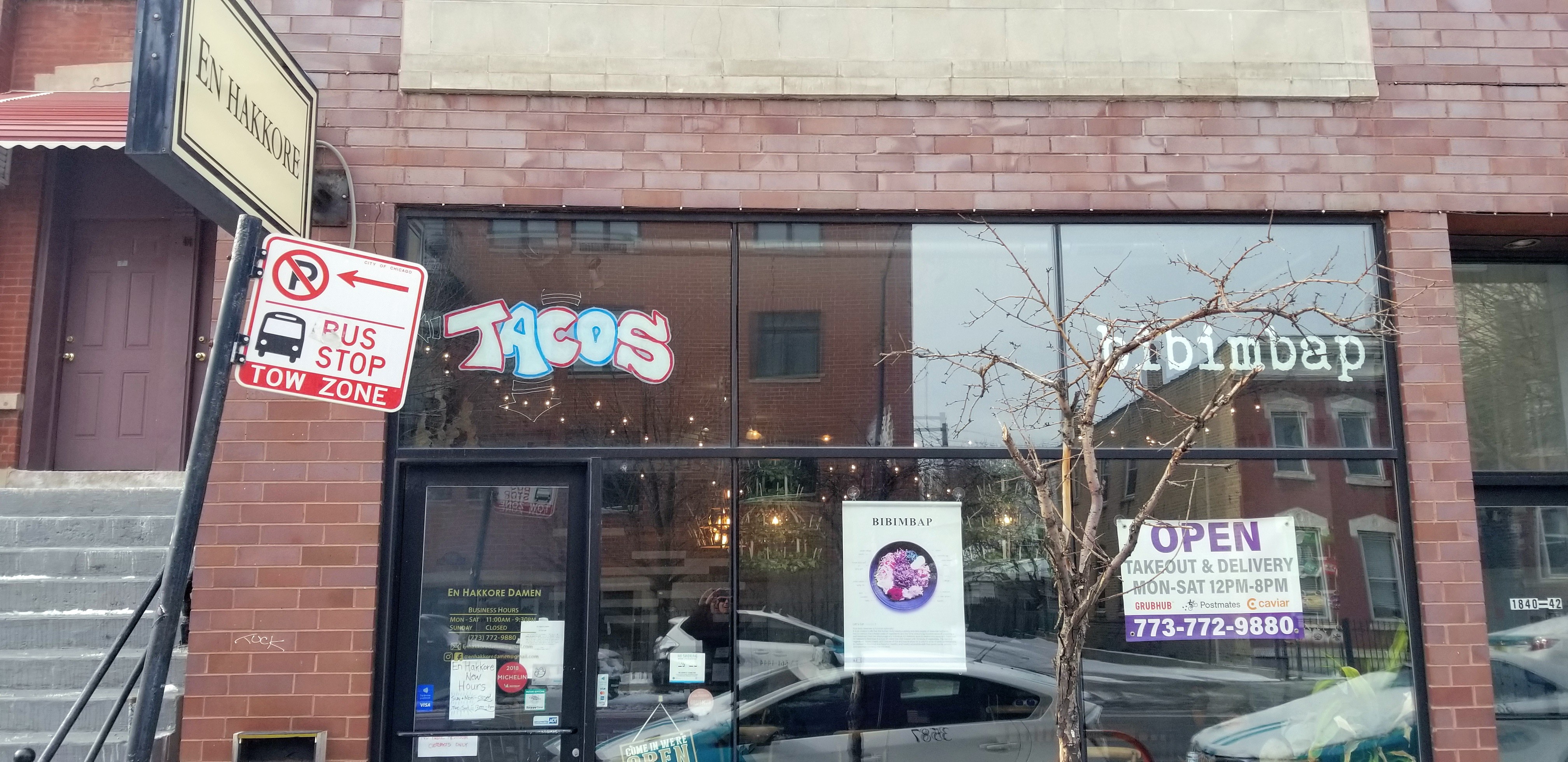
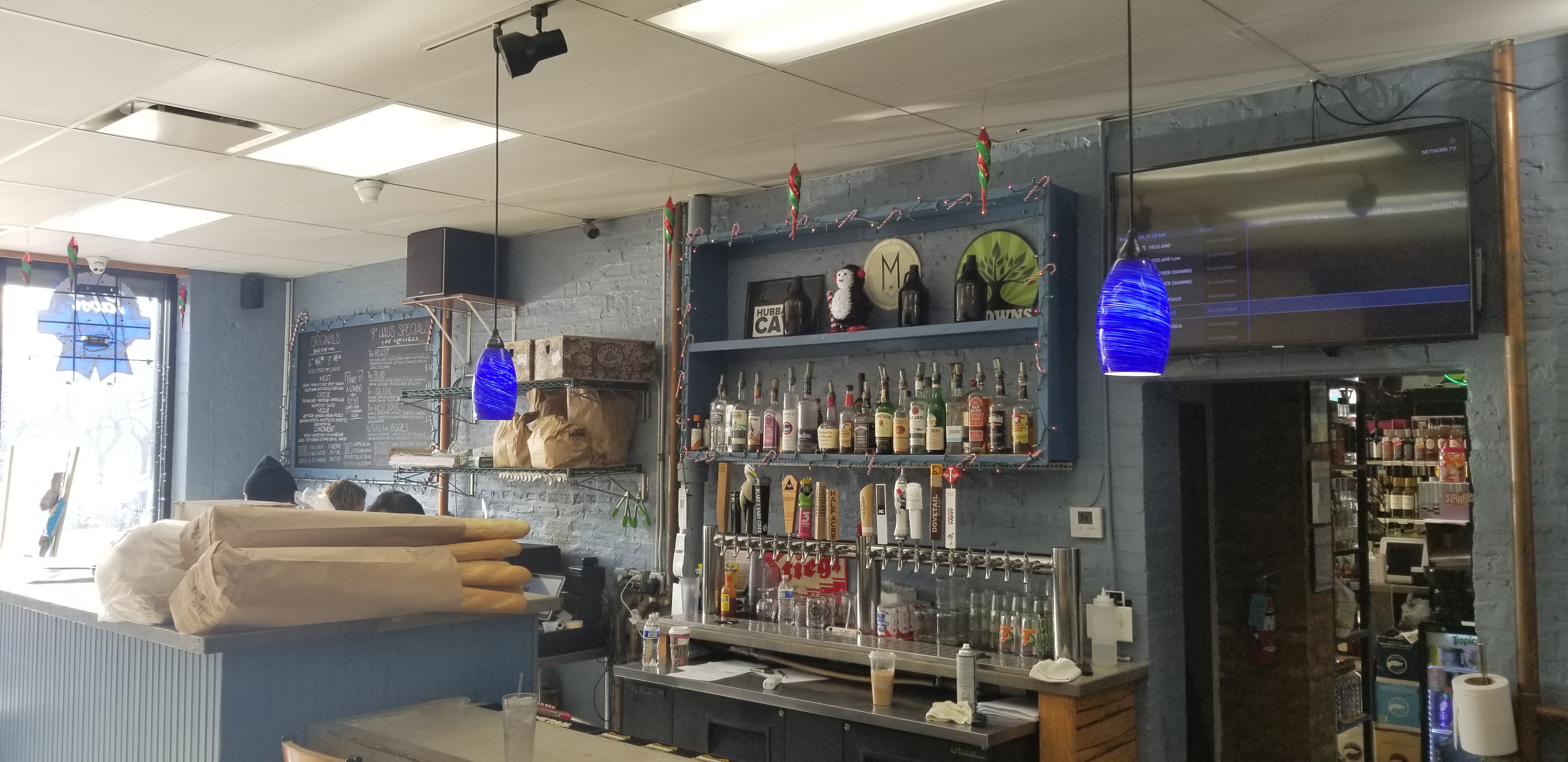
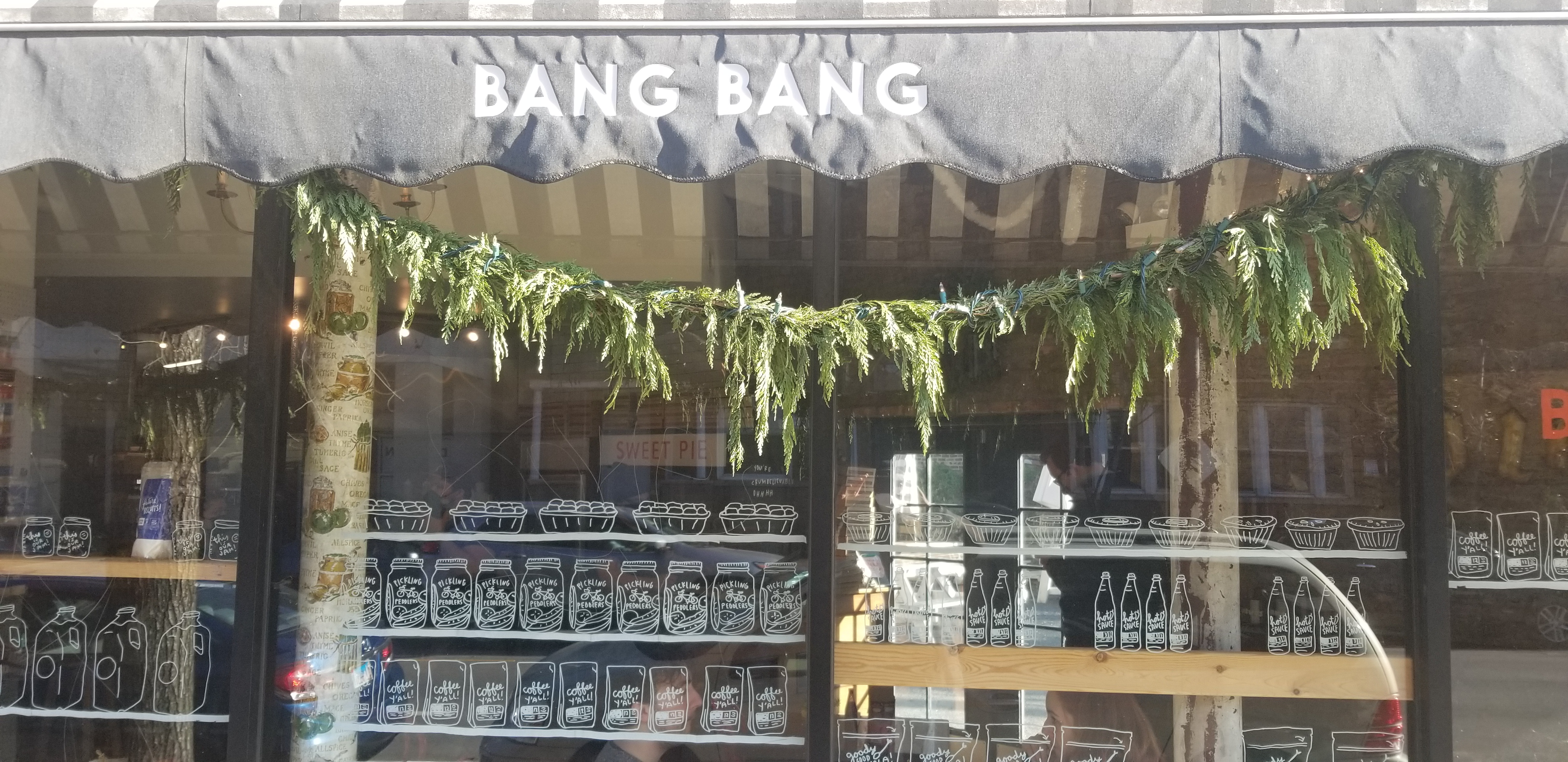
Close to the trail along Damen Avenue are a number of eateries which offer takeout including En Hakkore located at 1840 North Damen Avenue for Korean BBQ (beef tacos are very good). Near the center of the trail, Humboldt Haus located at 2958 West North Avenue serves tasty lunch sandwiches, and Bang Bang Pie & Biscuits located at 2051 North California Avenue serves scrumptious savory pies for lunch.

Nearby Public Lands Worth Visiting
John Walsh Park on east end of trail; for dog walking, Churchill Park off the Damen Avenue trail entrance to the 606 Trail has a designated dog park
Best Time To Visit
All year
© 2021 50 Great Public Land Destinations - Chicago and Beyond. All Rights Reserved.

